A star chart is a location-and-time tool, not a photograph of an unchanging ceiling. Beginners often hold the chart flat, rotate themselves, and conclude that the stars are wrong. The missing step is to align the chart's horizon with the direction you are facing. This guide uses a printed chart or planisphere, but the same logic applies to a trustworthy phone map set to the correct location and time.
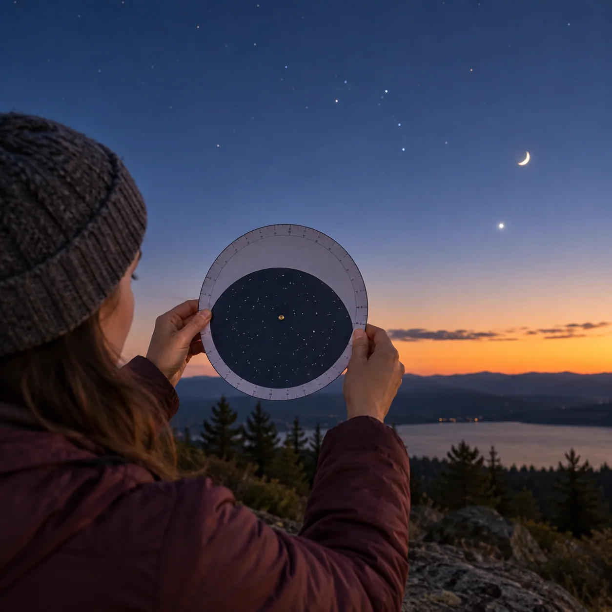
Give the chart its address
Set the date, local time and observing latitude before stepping outside. A planisphere made for a distant latitude can hide or emphasize the wrong part of the sky. A phone app may infer your position automatically, but confirm location permission and time zone if the view looks implausible. A chart depicts what should be above an ideal horizon; buildings, trees and hills remove part of that theoretical view. Pick a clear direction first, then see which bright anchors the chart predicts there. Avoid a target shown low behind an obstruction.
Match the edge to the landscape
Face north, south, east or west and rotate the chart so that the matching horizon label points toward the real horizon in front of you. Then raise your gaze; positions near the center of the map correspond to higher sky, not necessarily the center of your view. A planisphere can feel reversed when held overhead, so practice with one bright star rather than trying to decode every mark. Hold the chart where you can look back and forth comfortably. A brief glance at the actual horizon anchors the paper in physical space.
Choose a forgiving anchor
The Moon is easy to identify, but it shifts among background stars, so use a current chart for its position. A bright asterism works better for learning chart rotation. In the northern sky, the Big Dipper may be useful when visible; in winter evening skies at many northern mid-latitudes, Orion is distinctive. Neither is universal at all times. Find the pattern's brightest points first, then look for one neighboring point printed on your chart. Ignore faint labels and catalogue numbers until the broad geometry feels familiar.
Why an exact match may fail
A chart may show more stars than city eyes can detect. High clouds can also hide dim stars while bright ones remain. If the target seems missing, check the chart's time, location and orientation before assuming it is too faint. Then look for a local obstruction or light source. When you return later in the evening, rotate or reset the chart again; the sky has moved. In another season, a different set of constellations may occupy the same part of the evening sky. Charts are predictions conditioned on time and place.
A paper exercise that carries outdoors
Before going out, mark a single observing direction and two bright anchors on a photocopy or removable note; do not deface a shared map. Outdoors, locate anchor one, then anchor two, and draw a line between their observed positions in your notebook. Note whether the line slopes differently from the printed diagram. Repeat at a later hour. The goal is not cartographic precision. It is to develop the habit of matching a model to a real sky while recording why a match was uncertain. Once you can do that, binocular star-hopping becomes much less mysterious.
A chart-turning drill
Make a low-pressure rehearsal with a chart before seeking faint targets. At home, set the wheel or app for the current local time and find the direction of one visible window or outdoor view. Note the brightest predicted pattern in that sector. Outside, face the same direction, rotate the paper horizon toward the real horizon, and locate only that pattern. If it is blocked, do not substitute a different sky region while leaving the chart in its old orientation; turn yourself and the chart together. Wait twenty minutes, or repeat on another evening, and see whether the pattern has shifted. Write down which edge or arrow on the chart was confusing. People often solve their own reading problem by identifying this one physical mismatch. A chart with fewer stars may be easier at first than a densely labeled atlas. You can add detail when the large-scale orientation stops feeling like a puzzle.
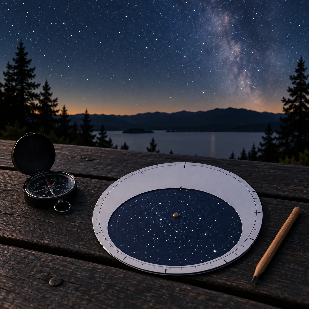
A useful chart helps you answer where to look now, at this latitude and time. It should not dictate what you claim to have seen. If using a digital chart, turn off decorative overlays that make bright stars look larger than they really are. Compare the app’s four horizon directions with a real compass or familiar landmark, then hold the phone down and locate the target unaided. The screen is a guide to the sky, not the destination of the observing session.