The Big Dipper is an asterism, not a complete constellation, and its two outer Bowl stars provide a familiar route toward Polaris. For many Northern Hemisphere readers, this is a practical direction check as well as a first lesson in using one star pattern to find another. The method does not serve observers in the Southern Hemisphere, and the Dipper's position above the horizon varies with latitude and time.
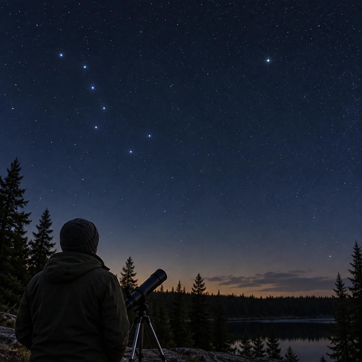
Find the Bowl before the handle
Locate four stars forming a rough Bowl and three extending as a Handle. The whole arrangement may appear tilted or upside down depending on the hour. If light pollution hides the faintest members, consult a current chart rather than guessing from two bright points. Verify that the pattern lies in the correct part of your northern sky. Some northern observers keep the Dipper above the horizon year-round, but that is not true at every northern latitude. A low Dipper may disappear behind buildings or trees.
Extend the pointer line
Use the two stars at the outer edge of the Bowl, away from the Handle. Imagine a line from the lower of that pair through the upper and continue it several times their separation until you reach Polaris. NASA describes this pointer-star route and notes that Polaris is not the brightest star in the sky. Check the result against a current chart before declaring every moderately bright northern star to be Polaris. The line is a visual guide, not a precision navigation instrument.
What the North Star tells you
Polaris lies close to the north celestial pole, so it appears roughly fixed while other stars circle over time. Facing it gives an approximate true-north direction, which can orient a sky map. It is not the same as a handheld compass's magnetic north, and a backyard exercise is not a substitute for suitable navigation equipment in remote terrain. Note how high Polaris sits above your horizon; that apparent height changes with latitude. A visitor farther north may see it higher than you do.
Make the geometry stick
Draw the Bowl, Handle and your pointer line from memory after you have found Polaris. Wait an hour if convenient and look again. The Dipper may have rotated around the pole, but the pointer relationship still works. That observation is more memorable than a static diagram. Use a dim light to write and keep the chart down when walking. If clouds obscure the line between the Bowl and Polaris, record the uncertainty. You should not fill in a missing point simply because the map says it must be there.
A clear hemispheric limit
Polaris is a northern-sky guide and cannot be used as a southern counterpart. A site serving a global audience should not publish one universal “find north” route without hemisphere information. Even within the north, a low northern horizon can hide the Dipper or Polaris behind terrain. Choose a clear legal site, or postpone. An accurate local map and a visible horizon are more useful than memorizing the route without checking whether the pattern is in view.
Direction is not the same as route finding
Polaris can give a rough north reference while you are stationary in a safe place. Test this by finding it from the Dipper, turning your body toward it, then comparing that orientation with a trusted map or compass. Do not walk into unfamiliar terrain while staring upward. Magnetic compass readings can differ from true north, and metal structures may affect a local compass, so a mismatch is not automatically a failed Polaris identification. The sky route is an astronomy lesson rather than an emergency navigation procedure. In a city, buildings may prevent a straight view north even when much of the overhead sky is open. Choose an alternate legal spot or wait for another opportunity. If observing from southern latitudes, do not transplant the method at all; use a regionally appropriate guide. The geographic limitation is part of the answer, not a small footnote to ignore.
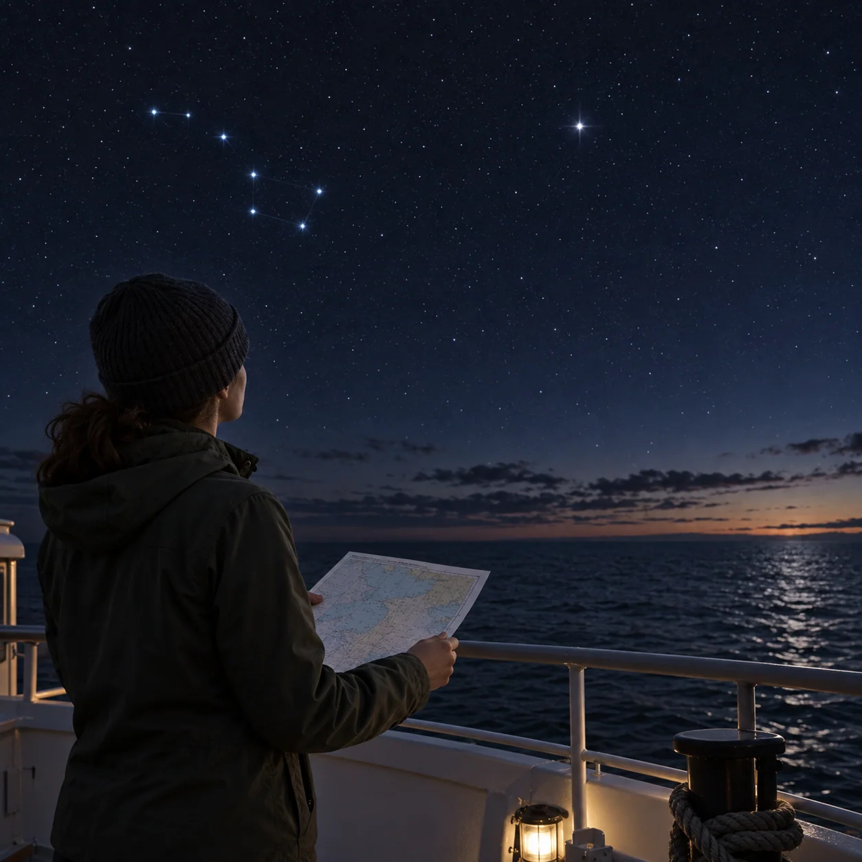
Once you have used the Bowl to locate Polaris twice, you have learned a general observing move: find the obvious shape, then use its geometry to reach a less obvious target. A north-finding exercise should end where it began, on stable ground. Once you have faced Polaris, lower your chart and look at the familiar local horizon. The rough orientation helps you turn a map, but it does not replace marked trails, daylight planning or proper navigation on a hike. Keeping that boundary clear makes the lesson responsible.
Continue observing
- Use Orion’s Belt to Find the Sword and Its Fuzzy Nebula
- Steadier Handheld Binocular Views Without Buying a Mount